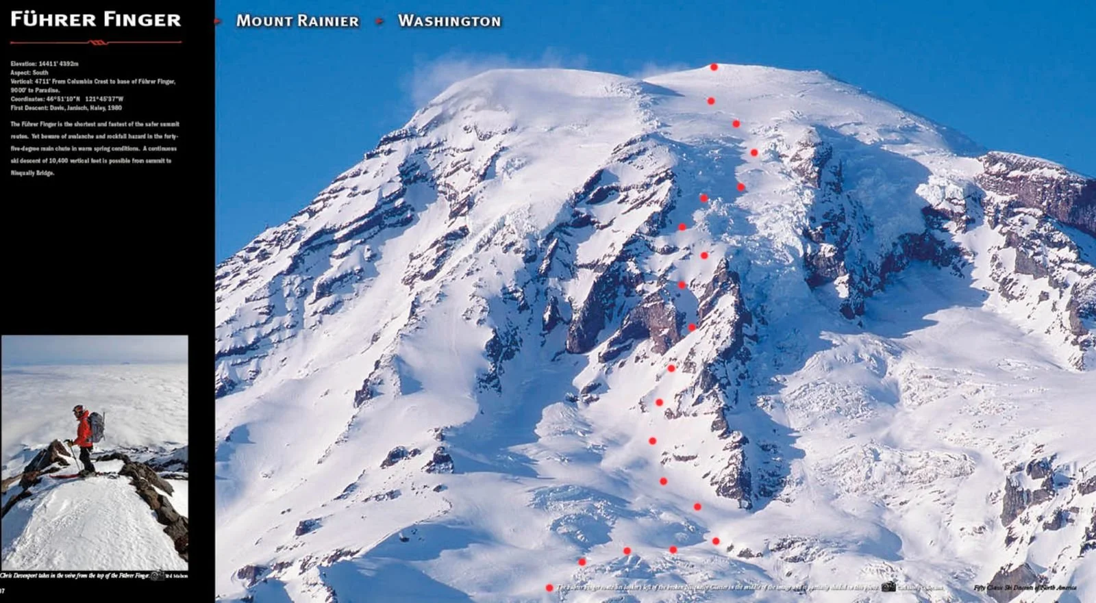
Fuhrer Finger Descent On Mt. Rainier (USA)

Fuhrer Finger ski descent on Mt. Rainier - May 7th 2026
QUICK NUMBERS & STATS:
Date of Ascent: May 6-7th, 2026
Route: Fuhrer Finger up & down
Total time: ~21 hours total
Elevation gain: ~2800 m
Grade: 30-45 degree climbing & skiing
Style: Overnight
This spring, an opportunity presented itself to snowboard the Fuhrer Finger line off Mt. Rainier in Washington! It is one of the classic ski descents in the Pacific Northwest. And apparently, one of the longer ones!
Soon after coming home from Norway, where I spent a beautiful week with some awesome women, I took a few ‘rest’ days to wind down from the trip and the couple of weeks I'd spent in Alaska. I have had a busy spring, but I also wanted “one last sufferfest” to really feel done with our fleeting winter. We haven’t received a legendary amount of snowfall this year, so I started looking at missions as high up as possible, hoping to still catch some good snow.
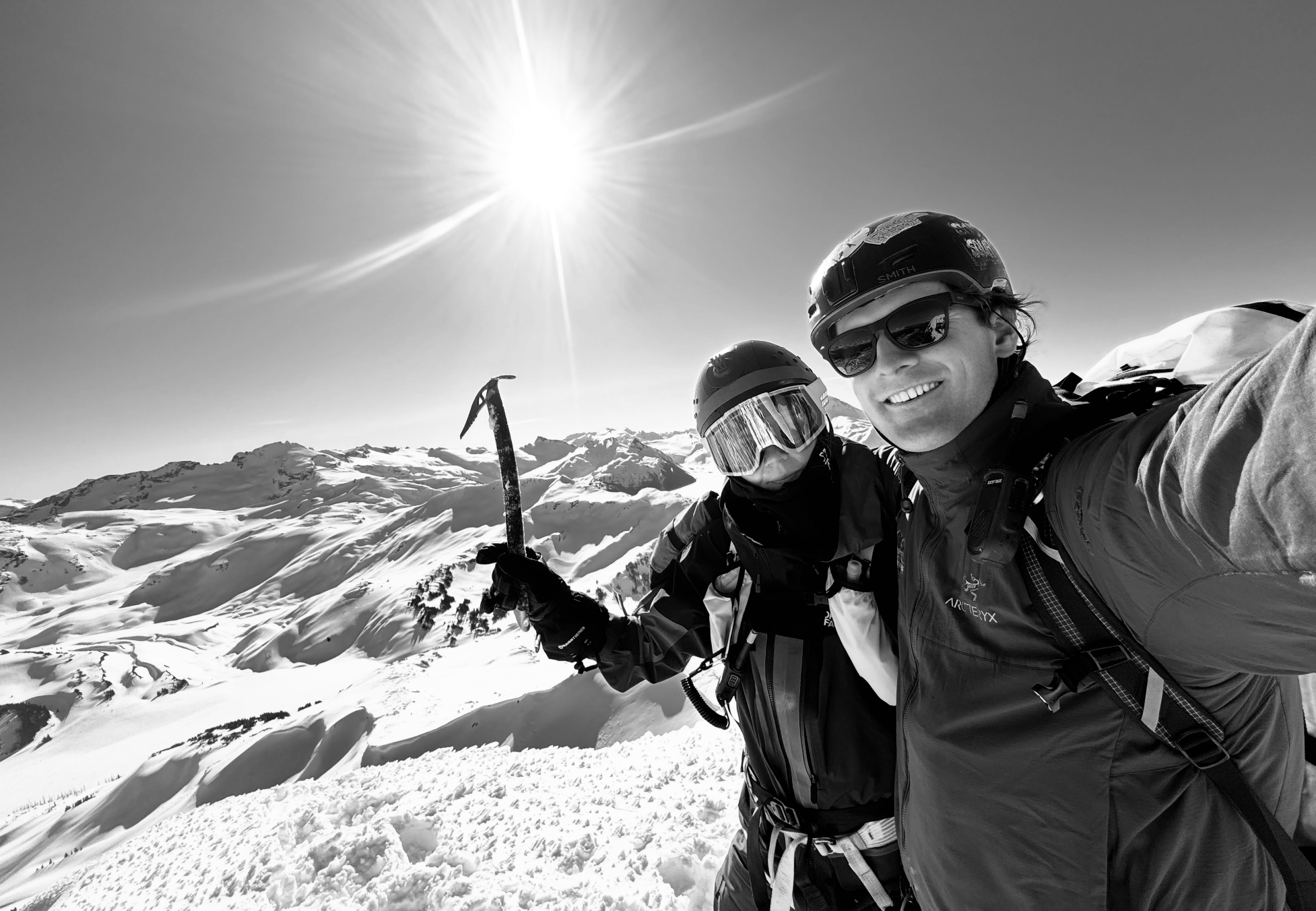
Mount Rainier was an obvious choice, and one I have been wanting to do for a while. So in 2 days, the car was packed and loaded, and Chris and I drove down south from our home in Pemberton. Once we passed Vancouver, it took us about 4 hours to reach the base of the towering volcano. I’m thankful for all the trip reports I saw online, which helped us prepare for the mission.

Leaving Paradise and heading up Nisqually Moraine Trail in fog
We left the car on May 6th, a little later than planned (around 7.45 AM) due to a lost key situation, but eventually we got the day going. The fog wrapping the bottom part of the mountain was slowly starting to break down, offering us little glimpses of the giant we are about to ascend. Mt. Rainier didn’t look intimidating from the ridge, if anything, the opposite. It looked a lot smaller than I was imagining, which was very deceiving given the 3000 meters we had in front of us.
That was also a really good spot to take pictures and visualize the line!
The progress was quick, we hiked the Nisqually Moraine Trail and descended to the Nisqually Glacier. We transitioned into solid snowboards to descend due to icy snow that hadn’t melted in the morning sun yet.
From there we approached the line straight up, and set up camp right underneath on a small bump, away from any overhead hazard. I know that most people hike up the normal route (ID) and ski down the “finger” which has its advantages (like no overhead exposure). But since we’ve never been to Rainier, I preferred to hike it straight up to see the line and all the open crevasses in it.


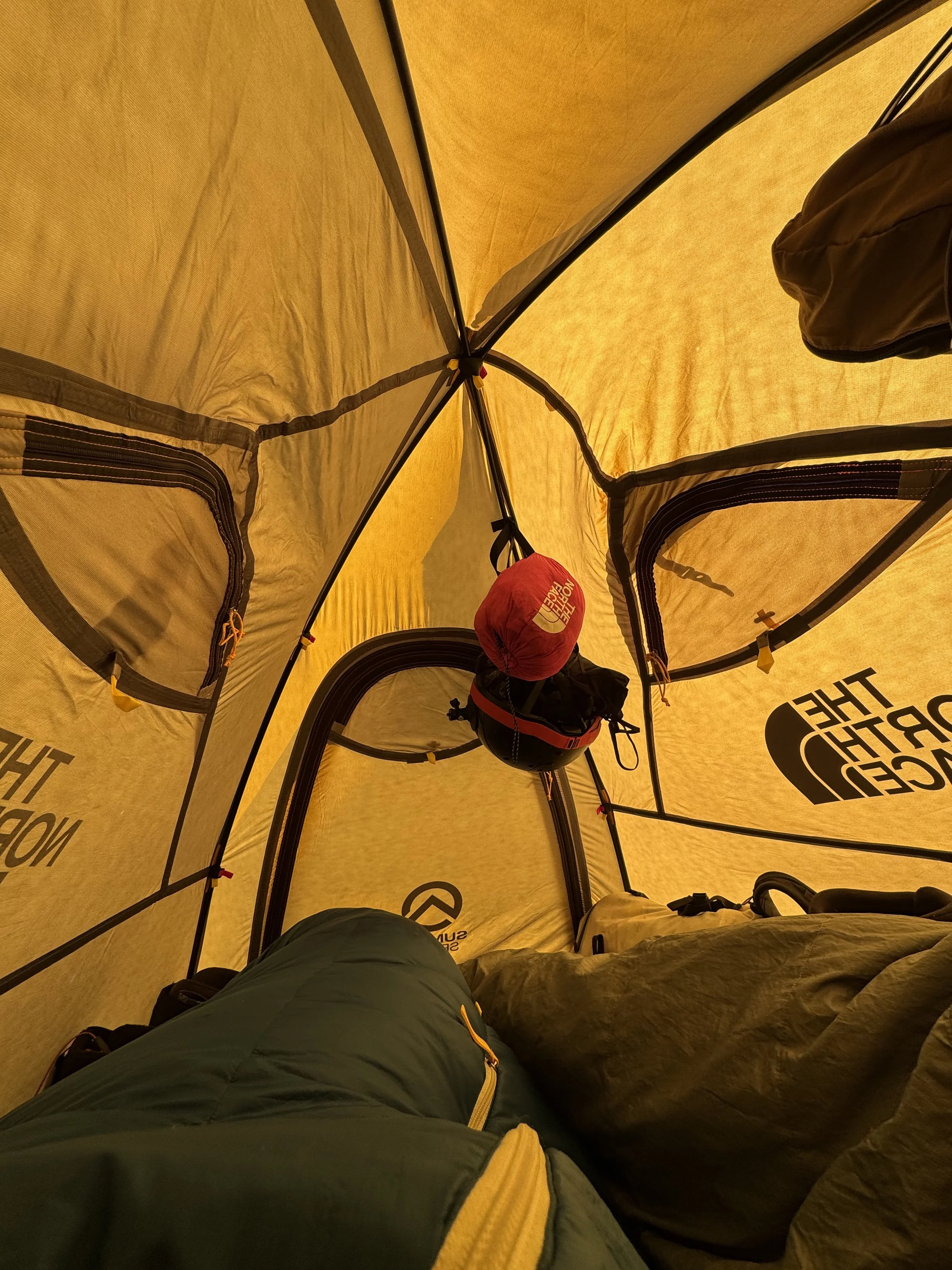
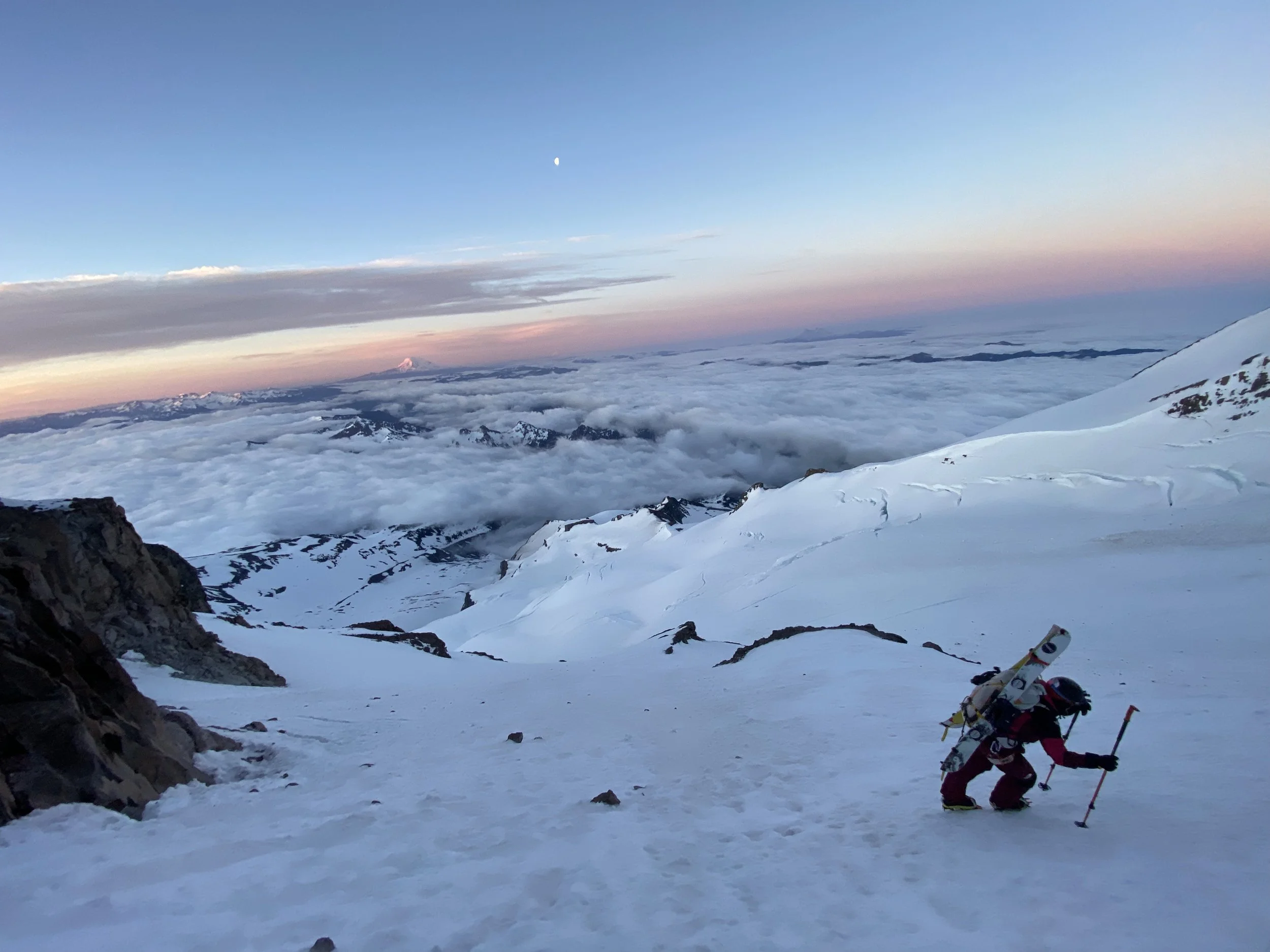
We slept on around 2660 meters. Went to bed around 6 PM and woke up at 2 AM. By 2.35 AM, we were out and moving. A few switchbacks with skins and crampons until the angle got steep and right below the entrance of “the finger,” we put our crampons on and started the endless bootpack. It started to get light around 5 AM, and with the full moon, we were able to turn off our headlamps. It seemed like we weren’t moving fast, but we were making good progress. Every once in a while, a rock would come flying down, and with warm temperatures and the sun coming up, those occurrences became more frequent.


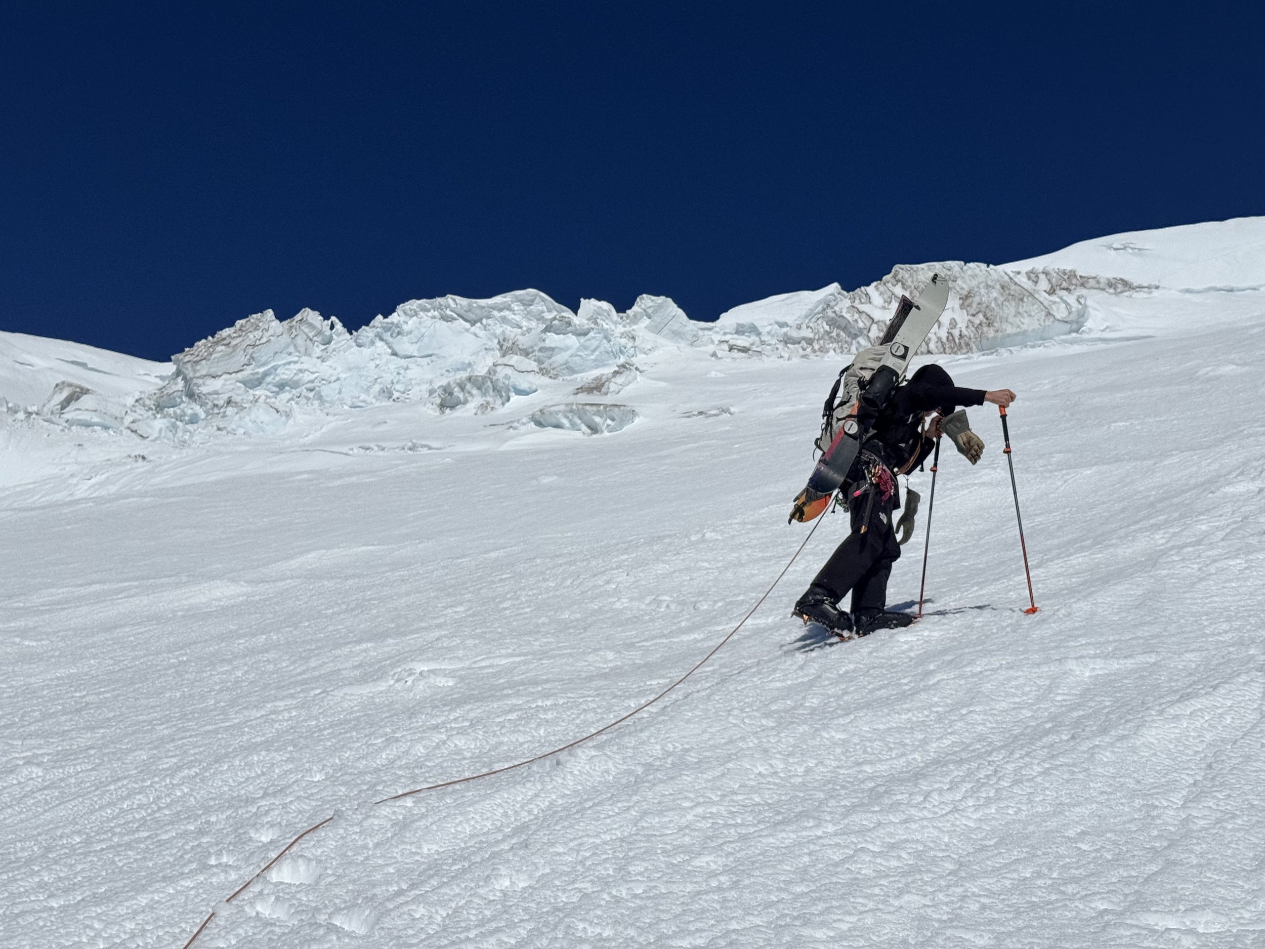
Nevertheless, the ascent was enjoyable, especially in the shade. The line was fully frozen, so walking up the ice was easy. It was also easy to navigate the open crevasses, as there were so many ski tracks indicating where people skied down. We quickly started cooking once the sun was above us (around 8 AM), and that slowed us down significantly. We climbed toward the junction with the upper Nisqually Glacier and continued up the slopes to the top of Wapowety Cleaver at 13,000 ft, staying left near the cleaver.
The endless bootpack eventually came to an end near the top, when the angle eased out.
We enjoyed a beautiful descent that was a little quemapiernas but so nice and satisfying. It was nice to navigate all the open crevasses (some 4 meters wide and up to 40 meters deep), already knowing where to go. We chatted to some people in the parking lot about how they got lost on their way down! See the descent video here.


For a low snow year, this line was probably more open and broken up than normally at the beginning of May, but still quite manageable in my opinion.
PERMITS & USEFUL INFORMATION
A climbing permit is required for trips on glaciers and/or above 10,000 ft. Fees apply. Check with Mount Rainier National Park (land manger link below) to be sure you have the required camping and climbing permits.
Suitable Activities: Climbing
Climbing Category: Intermediate Alpine
Seasons: May, June, July
Weather: View the weather forecast
Difficulty: Intermediate Mountaineering Climb
Elevation Gain: 10,000 ft
High Point: 14,411 ft
Land Manager: Mount Rainier National Park
Mount Rainier Wilderness
Parking Permit Required: National Park Entrance Fee
WHAT I BRING WITH ME ON A MISSION LIKE THAT:
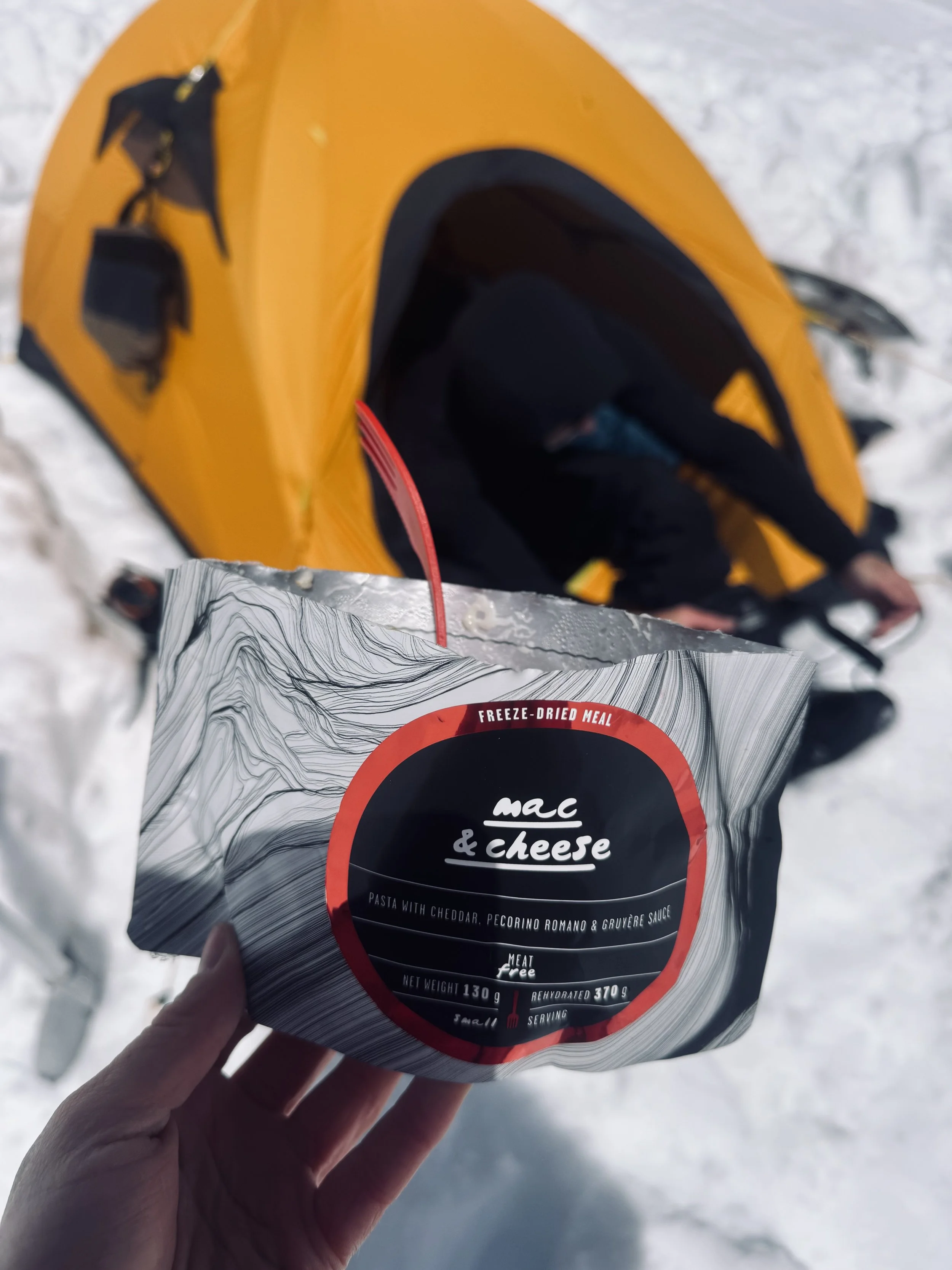
LYO Food Freeze-dried meals are the best, easiest, and most nutritious solution to the food situation in the mountains :) Thank me later
Also, my gear list/brands I trust:
Do you want to share Mt Rainier conditions? Feel free to comment below, let me know how the line went for you!
Let’s connect on IG :) @alenkaamali
This spring, an opportunity presented itself to snowboard the Fuhrer Finger line off Mt. Rainier in Washington! It is one of the classic ski descents in the Pacific Northwest. And apparently, one of the longer ones!